Hurrikánok és tájfunok
Hasznos linkek
>> National Hurricane Center>> Joint Typhoon Warning Center
>> Weather Underground
>> Tropical Tidbits

Boloetse visszaerõsödött 2-es kategóriájúvá, és (ismét?) Madagaszkárra zúdul!
Tropical cyclone Boloetse is forecast to strike Madagascar at about 08:00 GMT on 4 February. Data supplied by the US Navy and Air Force Joint Typhoon Warning Center suggest that the point of landfall will be near 23.9 S, 43.0 E. Boloetse is expected to bring 1-minute maximum sustained winds to the region of around 166 km/hr (103 mph). Wind gusts in the area may be considerably higher.
According to the Saffir-Simpson damage scale the potential property damage and flooding from a storm of Boloetse"s strength (category 2) at landfall includes:
* Storm surge generally 1.8-2.4 metres (6-8 feet) above normal.
* Some roofing material, door, and window damage of buildings.
* Considerable damage to shrubbery and trees with some trees blown down.
* Considerable damage to mobile homes, poorly constructed signs, and piers.
* Coastal and low-lying escape routes flood 2-4 hours before arrival of the storm center.
* Small craft in unprotected anchorages break moorings.
Utolsó észlelés
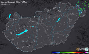
Térképek
Radar
Aktuális hõmérséklet
Aktuális szél
Utolsó kép
Gyors váltás: visszatér a nyárias idő
Időjárás-változás | 2024-04-24 16:54
Szabályzat